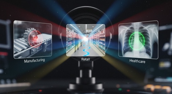
Artificial Intelligence: Making Sense of the Data
Artificial intelligence is at the heart of the shift. For decades, the problem with remote sensing was not capturing the data but figuring out what to do with it. A single satellite can generate so much information in one day that a team of experts could spend months trying to analyze just a fraction of it. That meant important details were often missed. With AI, the story changes. Machine learning models can be trained to spot patterns, compare images over time, and flag things that matter. Instead of a human staring at thousands of pictures of forests, an AI system can instantly highlight where new logging roads are cutting into protected areas. Instead of waiting weeks to confirm crop failures, algorithms can warn farmers in real time. What used to be a slow process is becoming fast and, in some cases, automatic.
Nanosatellites: Increasing the Frequency of Data
But data alone is not enough. To really make remote sensing useful, you need frequent updates, and this is where nanosatellites come in. Unlike the giant, multimillion-dollar satellites that governments used to launch, nanosatellites are small, cheap, and quick to build. A single company or even a university can launch its own satellite now. And when you have dozens or hundreds of these small satellites working together, you get constant coverage of the Earth. Instead of waiting two weeks for a satellite to pass over your region, you might get fresh images every few hours. This makes an enormous difference for things like disaster response. Think of a wildfire: having updated images multiple times a day can help firefighters decide where to focus their efforts, while older data might already be useless by the time it arrives.
Hyperspectral Imaging: A New Dimension of Detail
Then there is hyperspectral imaging, which adds a completely new dimension. A normal camera captures three bands of light: red, green, and blue. Hyperspectral sensors capture hundreds. Each material on Earth reflects light in its own unique way, which means hyperspectral imaging can pick up details invisible to the human eye. It can tell the difference between healthy and stressed plants before any visible signs appear, it can identify minerals in soil, and it can spot pollution in water that looks clear to us.
When combined with AI, the potential is incredible. Farmers can manage their crops with a precision that was unthinkable even ten years ago. Governments can detect oil spills at sea or illegal mining operations in protected areas. Environmental scientists can monitor ecosystems at a level of detail that helps them understand changes long before they become crises.
What is fascinating is how these three things work together. Nanosatellites make it possible to put hyperspectral sensors into orbit without spending a fortune. Hyperspectral imaging provides the raw data, and AI makes sense of it. It is like building a puzzle where each piece unlocks the next.
The result is a more complete, more immediate, and more useful picture of what is happening on Earth at any given moment.
Learn more about remote sensing consulting from data science professionals. Read more about it.
The applications go far beyond science
In agriculture, remote sensing is becoming a tool for everyday decision-making. A farmer can now know exactly how much water a specific part of their field needs, rather than irrigating everything equally and wasting resources. In cities, planners can identify areas where heat waves hit the hardest and plant trees to reduce the risk. In the insurance industry, companies are using satellite data to refine risk models, which means more accurate pricing and quicker responses to disasters. Even in security, remote sensing is being used to monitor borders, oceans, and sensitive areas in ways that were not possible before.